Table of Contents
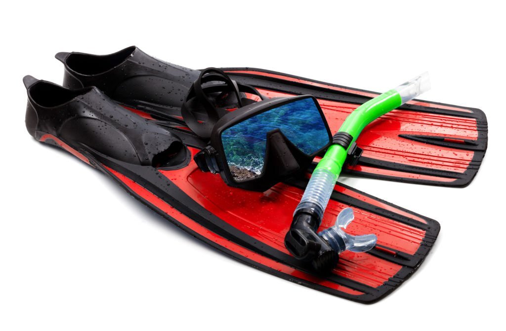
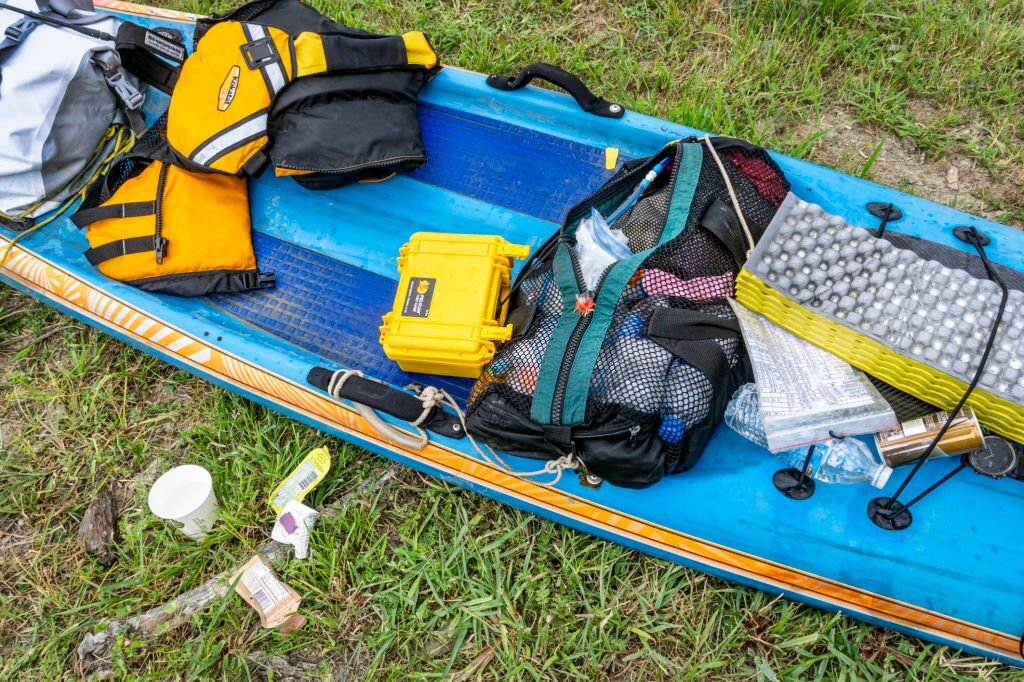
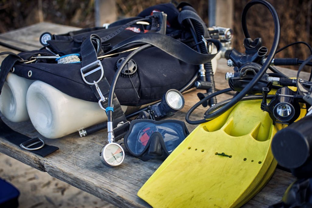
Essential Tools for Safe Boat Operation
Boating is an enjoyable recreational activity that can be both fun and exciting. However, it is important to be aware that it also involves certain challenges and risks.
To navigate a boat safely, it is important to have both skill and experience, as well as the appropriate tools and equipment for safe boat operation.
It is important for both experienced and novice boaters to have a good understanding of boat operation and navigation in order to ensure safety for themselves and others.
This post will discuss the important techniques and necessary tools for safe boat operation.
We can help you with understanding navigational charts, using GPS, maintaining communication, and emergency preparedness. Let’s explore the world of boating navigation together. Make sure to grab your life jacket before we begin.
1. The importance of navigation skills for safe boating
Having strong navigation skills is essential for operating a boat safely and successfully. Understanding the importance of navigation is crucial for both seasoned sailors and beginners alike.
Navigation skills are important for accurately determining your location on the water. To avoid dangers like shallow waters, submerged rocks, or other boats, it is essential to follow this advice. To ensure your safety and protect your vessel, it is crucial to have constant awareness of your location. This allows you to make well-informed choices and take necessary measures to avoid accidents or any harm.
In addition, having navigation skills allows you to effectively plan your route. To reach your destination safely, it is important to study nautical charts, understand buoy systems, and utilize GPS technology. These tools will help you identify the best and safest course. It is important to consider factors like tides, currents, and weather conditions that could impact your journey.
moreover having navigation skills enables you to understand and adhere to navigational aids and markers. Visual cues like channel markers, buoys, and lighthouses offer important information regarding the safest and most navigable routes. You can confidently navigate through unfamiliar waters by understanding the meanings and following their guidance.
Also, having navigation skills can assist you in navigating effectively in situations of low visibility or darkness. To safely navigate through fog, heavy rain, or nighttime conditions, you can use tools like radar, GPS, and navigational lights. Maintaining control and awareness of your surroundings is crucial, especially in situations with limited visibility.
In summary, mastering navigation skills is essential for safe boating. It allows you to accurately determine your location, plan your route, interpret navigational aids, and navigate during challenging conditions. By investing time and effort into honing your navigation abilities, you can ensure a safe and enjoyable boating experience for yourself and your passengers.
2. Understanding nautical charts and maps
It is important for boat operators to have a clear understanding of nautical charts and maps. Navigational tools are important for providing crucial information about water depths, underwater hazards, landmarks, and other essential features of the marine environment.
Knowing how to interpret and utilize nautical charts and maps is essential for both experienced sailors and beginners to ensure safety on the water.
Nautical charts are maps created specifically for navigation. Their main function is to offer precise and current information regarding the coastline, waterways, and nearby regions.
The charts contain crucial information like buoys, beacons, lighthouses, and navigational aids. These elements help mariners navigate their intended routes. To navigate safely through unfamiliar waters and avoid potential dangers, it is important to understand the symbols, colors, and markings on nautical charts.
Understanding depth contours is a crucial aspect of nautical charts. The purpose of these lines is to show changes in water depth, which is useful for boat operators to identify safe passages and potential shallow areas.
To avoid grounding or damaging your boat, it is important to refer to the depth contours and compare them to your vessel’s draft before navigating in waters. This will help you ensure that the depth is sufficient for safe navigation.
Nautical charts also include the identification of hazards and obstructions, which is an important aspect. There are various hazards in the water that can be dangerous for navigation, such as submerged rocks, wrecks, reefs, and other obstacles. By thoroughly analyzing the chart and planning your route, you can easily recognize and avoid these dangers, guaranteeing a secure and seamless trip.
Mariners should be familiar with navigational maps, in addition to nautical charts. Maps offer a broader perspective of the area and can assist in route planning, although they may not be as detailed as charts. The maps frequently contain details about land features, ports, and other points of interest that can be helpful for your journey.
To make the most of nautical charts and maps, it’s crucial to stay informed about the latest editions and corrections. Navigational charts are regularly updated to accurately reflect the ever-changing marine environment. Please ensure that you obtain the latest charts and stay updated on any updates or notices for mariners.
3. Essential navigation instruments and tools
When it comes to safe boat operation, having the right navigation instruments and tools is crucial. These tools not only help you navigate through waterways with ease but also ensure the safety of your vessel and everyone on board.
1. Nautical Charts: Nautical charts are the cornerstone of navigation. These detailed maps provide vital information about water depths, coastal features, navigational aids, and potential hazards.
They allow you to plot your course, identify safe passages, and avoid dangerous areas. Make sure to have up-to-date charts specific to your boating area.
2. GPS (Global Positioning System): A reliable GPS device is a must-have for any boat operator. GPS technology provides accurate positioning and real-time tracking, allowing you to determine your exact location on the water.
It also helps you plan routes, set waypoints, and navigate to specific destinations. Look for a marine GPS with additional features such as chartplotting and integration with other navigation instruments.
3. Compass: A compass is an essential tool that helps you maintain a proper heading and navigate without solely relying on electronic devices.
Even if your boat has a compass built into the dashboard, having a handheld compass as a backup is recommended. Make sure to learn how to use it properly and adjust for any magnetic variations in your area.
4. Depth Sounder/Fish Finder: A depth sounder or fish finder is invaluable for boaters, especially in unfamiliar waters. This instrument uses sonar technology to measure water depth and display it on a screen.
It helps you avoid shallow areas, submerged rocks, and potential hazards beneath the surface. Additionally, some models can provide information about water temperature, fish presence, and underwater structures.
5. VHF Radio: A VHF (Very High Frequency) marine radio is a vital communication tool for boaters. It allows you to communicate with other vessels, marinas, and emergency services. In case of an emergency, a VHF radio can be a lifeline, providing a direct line of communication to call for help or relay important information.
Remember, always familiarize yourself with the proper operation and use of these navigation instruments and tools.
Regular maintenance and calibration are essential to ensure their accuracy and reliability. By having these essential tools onboard and mastering their use, you can navigate the waters confidently and safely.
4. GPS and electronic navigation systems
Reliable navigation tools are crucial for safe boat operation. Having a GPS (Global Positioning System) device is crucial for every boat operator. GPS technology utilizes a network of satellites to accurately determine the precise location of your boat, enabling you to navigate with utmost precision.
A GPS device provides important details like latitude, longitude, speed, direction, and distance to your destination. The device also has the capability to show charts and maps, allowing you to view the surrounding area and identify any potential hazards. By utilizing real-time updates, you can conveniently monitor your progress and make any necessary adjustments to your course.
Electronic navigation systems are more than just GPS. Additional features such as radar, sonar, and chartplotters are included. Radar is a useful tool for detecting other vessels, land masses, and weather conditions, which improves safety on the water. Sonar is a technology that enables you to obtain images of underwater environments, helping you to safely navigate through submerged objects and locate ideal fishing locations.
Chartplotters are devices that combine GPS data with electronic charts to provide users with a comprehensive and detailed view of their surroundings. You have the ability to mark waypoints, create routes, and set alarms for dangerous areas or shallow waters. The systems are designed to be intuitive and user-friendly, ensuring easy navigation for beginners.
To ensure safe boat operation, it is crucial to invest in a dependable GPS and electronic navigation system. These tools offer precise positioning and improved situational awareness, enabling you to make well-informed decisions while on the water.
By utilizing advanced features such as radar and sonar, you can navigate with confidence, effectively avoiding potential hazards and ensuring a pleasant and seamless boating experience.
5. Learning to read and interpret navigational aids
Learning to read and interpret navigational aids is an essential skill for any boat operator. These aids are designed to provide crucial information about waterways, hazards, and safe routes for navigation. By understanding and effectively utilizing these aids, you can ensure a safe and smooth journey on the water.
One of the most common navigational aids you will encounter is the buoy system. Buoys are floating markers that come in various shapes, sizes, and colors, each carrying a specific meaning.
For example, red buoys indicate the right side of a channel when entering from seaward, while green buoys indicate the left side. These buoys may also bear numbers or letters, which further assist in identifying their purpose and location.
In addition to buoys, other aids such as daymarks, beacons, and lighthouses play a vital role in navigation. Daymarks are stationary structures that provide visual references during daylight hours.
They are typically painted with distinctive colors and patterns to aid in identification. Beacons, on the other hand, are structures that emit light signals at night or during periods of reduced visibility. These signals help mariners locate and navigate through specific areas.
Lighthouses, perhaps the most iconic navigational aids, serve as beacons of light and guidance. They are typically located in strategic locations along coastlines and mark dangerous areas or entrances to harbors. The unique patterns of light emitted by lighthouses, such as flashes or continuous beams, are distinctive and can be used to determine one’s position and direction.
To effectively interpret these navigational aids, it is crucial to familiarize yourself with nautical charts.
Nautical charts provide detailed information about water depths, submerged hazards, and the locations of various aids to navigation. By studying these charts and understanding their symbols and legends, you can plan your route and navigate with confidence.
Remember, mastering the art of navigation is an ongoing process that requires practice, knowledge, and a keen eye for detail.
By investing time in learning to read and interpret navigational aids, you will enhance your skills as a boat operator and ensure the safety of yourself, your passengers, and your vessel on the water.
6. Understanding tides, currents, and weather patterns
Safe boat operation requires a thorough understanding of tides, currents, and weather patterns. The weather and water currents can greatly affect how you navigate and enjoy being on a boat.
Tides are the result of the gravitational forces of the moon and the sun, causing the rise and fall of sea levels.
ImproveShow HardSandbars and shallow areas can be affected by them, leading to changes in water depth. Being aware of the tide times and tidal range in your area is important. This allows you to plan your departure and arrival times accordingly. This will help ensure that you have sufficient water depth to navigate safely.
Currents refer to the ongoing movement of water in a specific direction. Coastal erosion can occur due to tidal forces, wind patterns, or the shape of the coastline.
Your boat’s speed and maneuverability can be affected by strong currents. To stay safe while boating, make sure you know about strong currents in your area. Plan your routes carefully to avoid difficult or dangerous conditions.
Weather patterns like wind, waves, and storms can greatly impact the stability and safety of your boat. Always check the weather forecast and pay attention to warnings before going out.
Understanding wind patterns helps you plan your sailing route better and improve how your boat performs. Understanding storm systems can help you make smart choices and stay safe.
Different tools and resources can help you understand tides, currents, and weather patterns easily. Tide charts are important references that provide information about high and low tides.
Current charts can help you see the direction and strength of currents in your area. Trusted sources like the National Weather Service or marine weather apps give important information about wind conditions, waves, storms, and other weather factors in weather forecasts.
When you learn about tides, currents, and weather patterns, you gain the knowledge and tools to navigate safely and confidently. This ensures a smooth and enjoyable boating experience for you and your passengers.
7. Plotting a course and setting waypoints
To ensure a safe and successful boat operation, it is crucial to plot a course and set waypoints. Navigation techniques are helpful. They keep you on track and give you a sense of control and direction during your journey.
To plot a course, you need a nautical chart or an electronic charting system. These tools display crucial information including water depths, navigational aids, and potential hazards.
This feature helps you find the safest and best route to your destination easily. To choose your course, consider factors like currents, tides, and weather conditions.
After deciding on the general course, it is necessary to establish waypoints. Waypoints are important markers or checkpoints along your route. They help you stay on track and guide you when navigating. You have the option to mark these waypoints on your chart or enter them into your GPS or chartplotter.
When choosing waypoints, consider the distance between each point. For smooth navigation, it is ideal to have the elements evenly spaced. Please consider any obstacles or restricted areas that you should avoid. To navigate safely and avoid obstacles, strategically place waypoints.
Don’t forget to regularly check and update your waypoints as you sail. Your course might need changes because of things like weather or unexpected obstacles. Stay alert and be ready to make necessary adjustments to ensure everyone’s safety on your boat.
Plotting a course and setting waypoints are crucial skills for boat operators. By learning these techniques, you can confidently navigate, stay on track, and have a safe and fun boating trip.
8. Dead reckoning and estimating position
To be a skilled boat operator, it’s important to know how to estimate distance and calculate position. These techniques will help you keep a safe and accurate heading. It applies to navigating in open waters or charting a course in unfamiliar territory.
Dead reckoning is a way to figure out where you are right now. You use your last known position, the path you took, the time, and your speed.
To estimate your position on the chart at any given time, consider these factors. It’s important to focus on details and keep accurate records when using this method to ensure accuracy and stay on track. Even small errors in your calculations can cause big changes to your planned route.
To estimate your position on the water, you use visual cues and landmarks as references. This technique is very useful when sailing near the coast or in places with clear landmarks.
To figure out where you are, compare what you see with the landmarks indicated on the map. These can include things like lighthouses, buoys, or distinct rock formations. Estimating position should be used with other navigation tools. It is not as precise as advanced methods like GPS.
Mastering both dead reckoning and estimating position requires practice and experience. To stay on track, remember to update your charts regularly. Plot your course and keep monitoring your progress. Having backup navigation tools, such as a GPS or electronic chart plotter, is crucial in case of unforeseen situations or equipment problems.
Improving your ability to estimate your boat’s position will make you a more skilled and confident boat operator. These tools are important for helping you navigate safely and effectively, even in challenging or unfamiliar environments. Mastering navigation is an art. It requires knowledge, technique, and intuition. With practice, you can become skilled in navigating the seas.
9. Navigating in low visibility or at night
Operating a boat in low visibility or at night can be challenging. It requires additional skills and tools to ensure safety. When visibility is low, rely on reliable navigation aids and techniques to safely navigate in the dark or fog.
Radar is a crucial tool for navigating in low visibility conditions. Radar helps boaters detect and keep track of other boats, buoys, and obstacles that they may not see on their own. Boaters can use the radar screen to navigate safely, avoid collisions, and identify different targets.
GPS, also known as the Global Positioning System, is another significant tool. GPS is a dependable tool that provides accurate position data. It helps boaters know where they are, plan routes, and navigate with confidence. GPS helps boaters navigate easily. They can follow pre-set waypoints, avoid shallow areas, and stay on course, even without visible landmarks.
Proper lighting is essential for safe navigation at night, in addition to radar and GPS. Boats need navigation lights that follow rules and are easy for other boats to see. Boaters use these lights to know where other boats are and avoid crashes during the night.
Boaters should know navigational charts and plan their route before going out in low visibility or at night. This is important for safety. Navigational charts are essential tools that provide important information about water depths, obstacles, and navigation aids. Boaters use them to plan routes and spot hazards.
Stay alert and cautious in low visibility conditions. Boaters should do a few things to be safe when visibility is low. They should look around, listen for fog signals, and use all the tools and techniques they have. This will help minimize risks and enable them to reach their destination safely.
To navigate well in low visibility or at night, you need to know, have the skills, and use the right tools. Boaters need to use radar, GPS, proper lighting, navigational charts, and stay alert to navigate safely in difficult conditions. This will ensure a successful and enjoyable boating experience.
10. Continuously improving your navigation skills
To operate a boat safely, it is essential to learn navigation skills and commit to them for life. Improving navigation skills is beneficial for sailors and captains, whether they are experienced or seasoned. The maritime industry is constantly changing. New technologies and techniques are developed to make navigation more efficient and safe.
To get better at navigating, it’s essential to keep up with the latest tools and equipment. GPS systems, electronic chartplotters, and radar systems have significantly transformed water navigation.
It’s important to get to know these tools and learn the skills to use them well. To have the best experiences on your trips, it’s vital to fully grasp the tools you have and what they can do.
I recommend investing in navigation courses and certifications. Numerous organizations provide specialized courses that focus on improving navigational skills. To enhance readability, this sentence can be rephrased as: “These courses teach vital subjects such as understanding charts, planning routes, interpreting weather, and avoiding collisions.” These courses will provide you with useful information and practical skills to help you navigate safely and confidently.
Gaining practical experience is another effective method to continuously improve your navigation skills. Dedicate time to practicing various navigation techniques and scenarios on the water.
Try new things, face different weather, and explore at different times to challenge yourself. Experiencing different situations helps you learn how to adjust your navigation and make smart choices.
It is important to recognize the significant value in learning from others. If you want to learn more about boating and meet experienced sailors, you can join boating communities, take part in forums, or attend workshops. These platforms provide opportunities to exchange valuable insights and experiences.
Join discussions, ask about topics, and get advice from people with experience in the field. Improving your navigation skills can be greatly beneficial. You can learn valuable insights and lessons from them.
Navigation is not just about getting from point A to point B. It’s also about keeping yourself, your passengers, and your vessel safe.
Improving your navigation skills will make your boating experience better. It will also help you become a more responsible and confident navigator. Embrace learning navigation skills to safely operate a boat and enjoy its benefits.
We hope you found our blog post on essential tools for safe boat operation informative and helpful.